With the assistance of the Your Move team from the Department of Transport and Westcycle, White Gum Valley Primary School's Your Move student ambassadors have been working on a map of safe routes to travel to school by bike or foot.
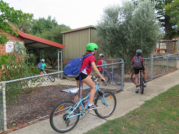
The map covers the area from Hampton Road to Carrington Street, and identifies some of the more common routes that students regularly take. It also includes playgrounds, drink fountains and park-and-walk points.
Once finalised the map will be printed and made available to all school families, and turned into a sign for the school's entrance.
The last stage of this initiative is the painting of footprints and stop signs at road crossing areas, to raise students' awareness of road safety rules. The Fremantle City Council has been very supportive in reviewing the map.
The school has been fortunate to have applied and received a grant through the Department of Transport to promote alternative forms of transport.
A version of this story was included in the school newsletter, encouraging families to look out for the imminent map!
This story is related to Write an article in your School newsletter - Term 3
Discuss this story
1 Comments
Please login to comment
James (Your Move)
Welcome back to Term 3 at Your Move Nyanda! That is exciting to hear that your Super Boost funded mapping project is coming together. Sharing that news in the school newsletter has earned you 22 points, and you got another 10 for sharing all the details with us too. I look forward to hearing when the map comes out.
Report comment